Drone Images help you get a new dimension of insights about your plants in the farm.
At Beegle we deploy a very high-end cameras and sensors to capture arial images and further analyse them with the help of our analytical tools to extract the information’s of your crops.
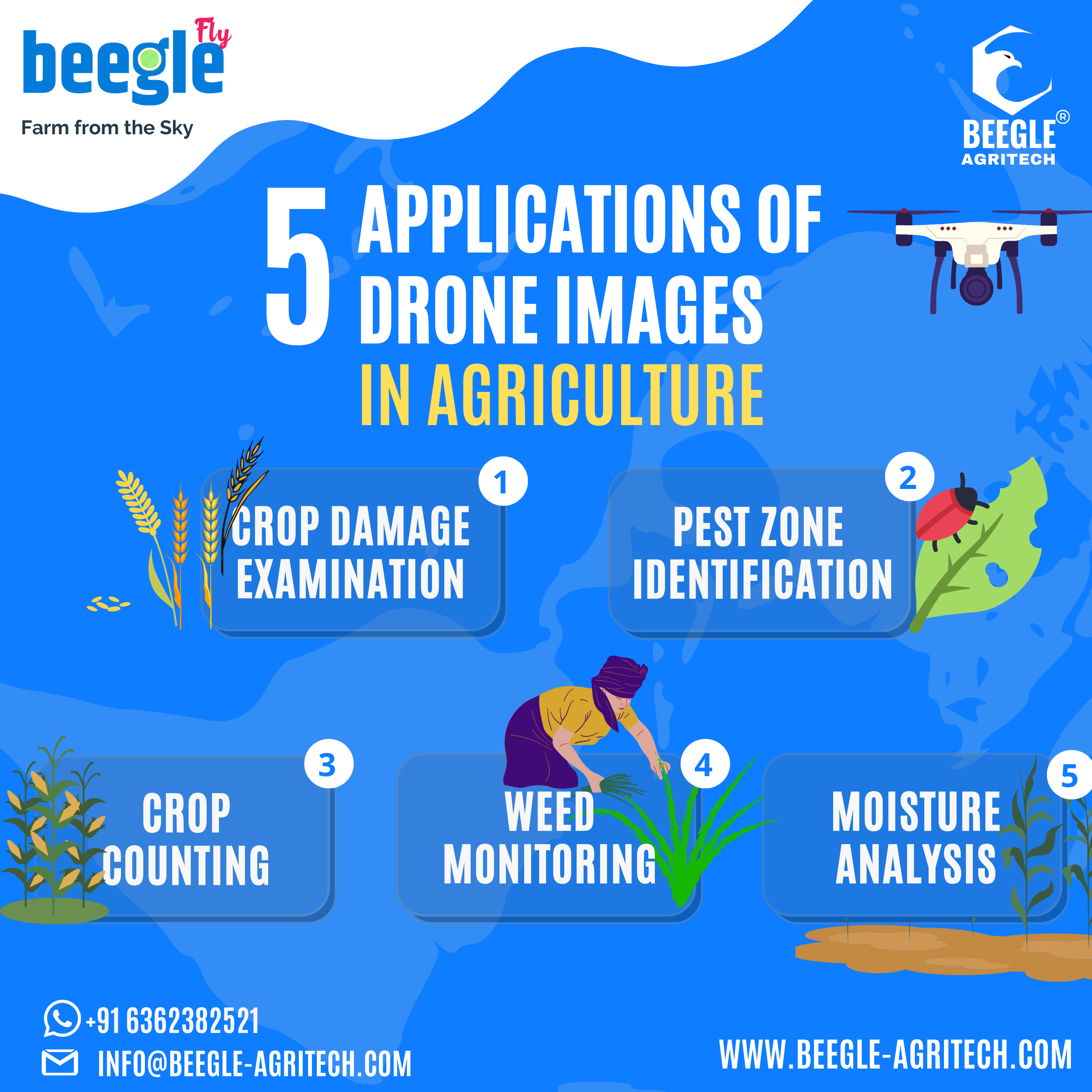
The major areas of drone applications are in
- Crop Damage Analysis
Drone images can be used to analyse crop damages such as crop lodging, drying, rusts and deficiencies, farm damage areas due to natural calamities, crop rotting and water logging and many such visually categorizable damages can be identified using drone. It plays a crucial role in not only identifying the damages but also in getting the exact area of damages with geo locations, total damaged areas can be analysed swiftly and efficiently and all the data can be stored and analysed anytime in the future.
2. Pest and Fungal Infection Spotting
Drone images can also be used to identify the total area of pest damages or spread of fungal infections. Fungal and pest infection tends to spread rapidly over the entire farm if left unchecked. Drone images can come in handy for quickly identify such infected areas and counter-action can be taken to contain the damage.
3.Crop Counting
Yield Forecasting / estimation, farm monitoring and plant emergence analysis can now be made much faster and efficient with the help of our drone technology and analytical support. Capturing of High-definition images of large areas of farm land in minimal time and subsequent analysis to get accurate count and biomass status which helps in yield and emergence analysis of the crops.
4. Moisture Analysis
Soil water content is considered to be one of the most prominent drivers in agriculture management; it is of high importance for plant growth and crop yield forecasting. The use of GPS-Reflectometry / thermal sensors mounted on drones operated in agriculture areas can be a cost-efficient way to determine the soil moisture content of farmlands to take further actions on irrigation and crop management.
5. Weed Monitoring
Unwanted plants can be a threat to the main crop if left unchecked. Drone images along with Beegle’s AI/ML capabilities will help farmers in timely detection of weeds and its scale of growth. With timely and regular scouting of farm crucial parameters can be monitored to ensure farms are free of any potential weed growth.
Leave A Comment